 1933 overview, looking east — from a MOHAI collection
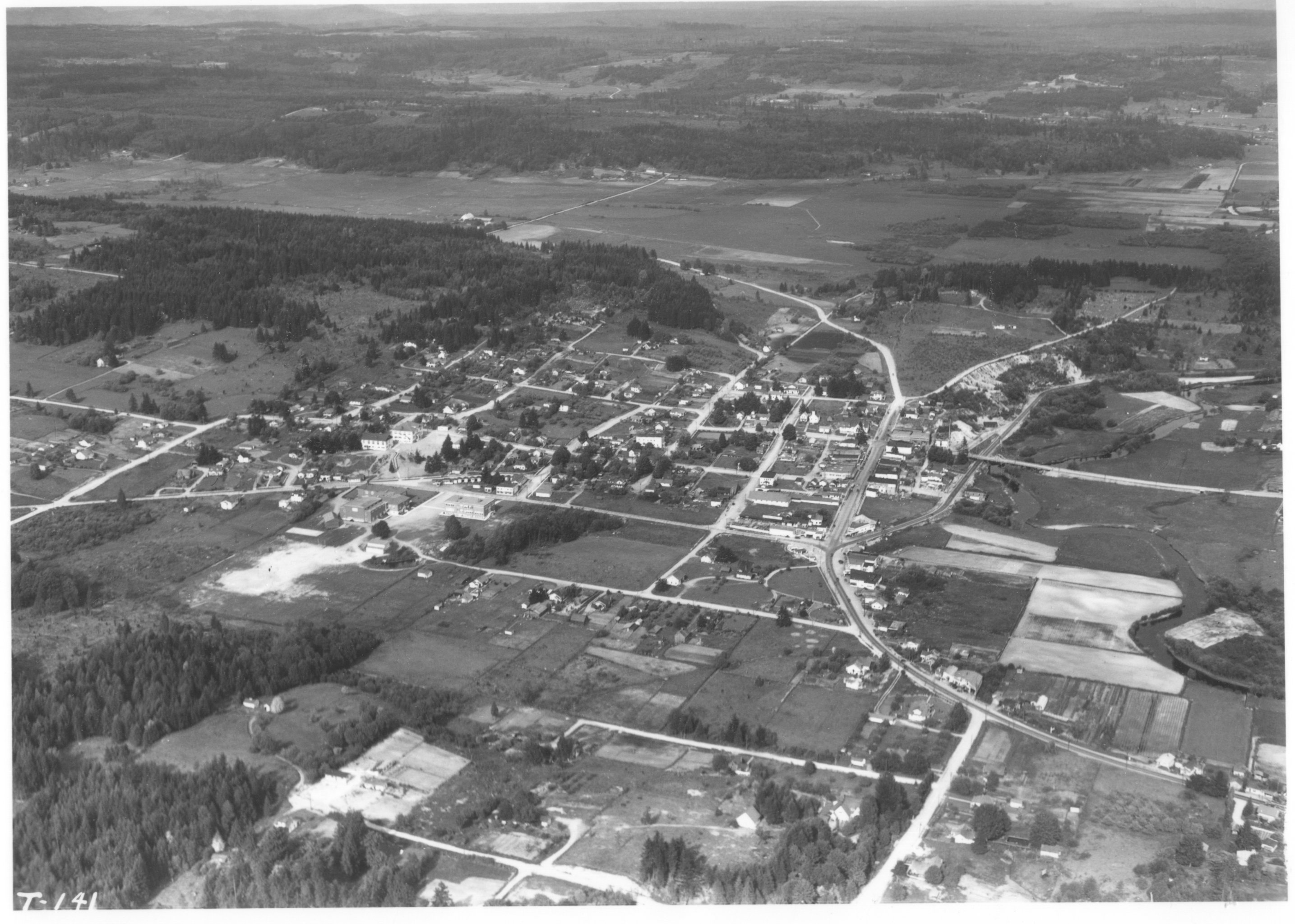
 1945-46–looking north from Norway Hill;
photo printed in the 1946 Bothell High School annual
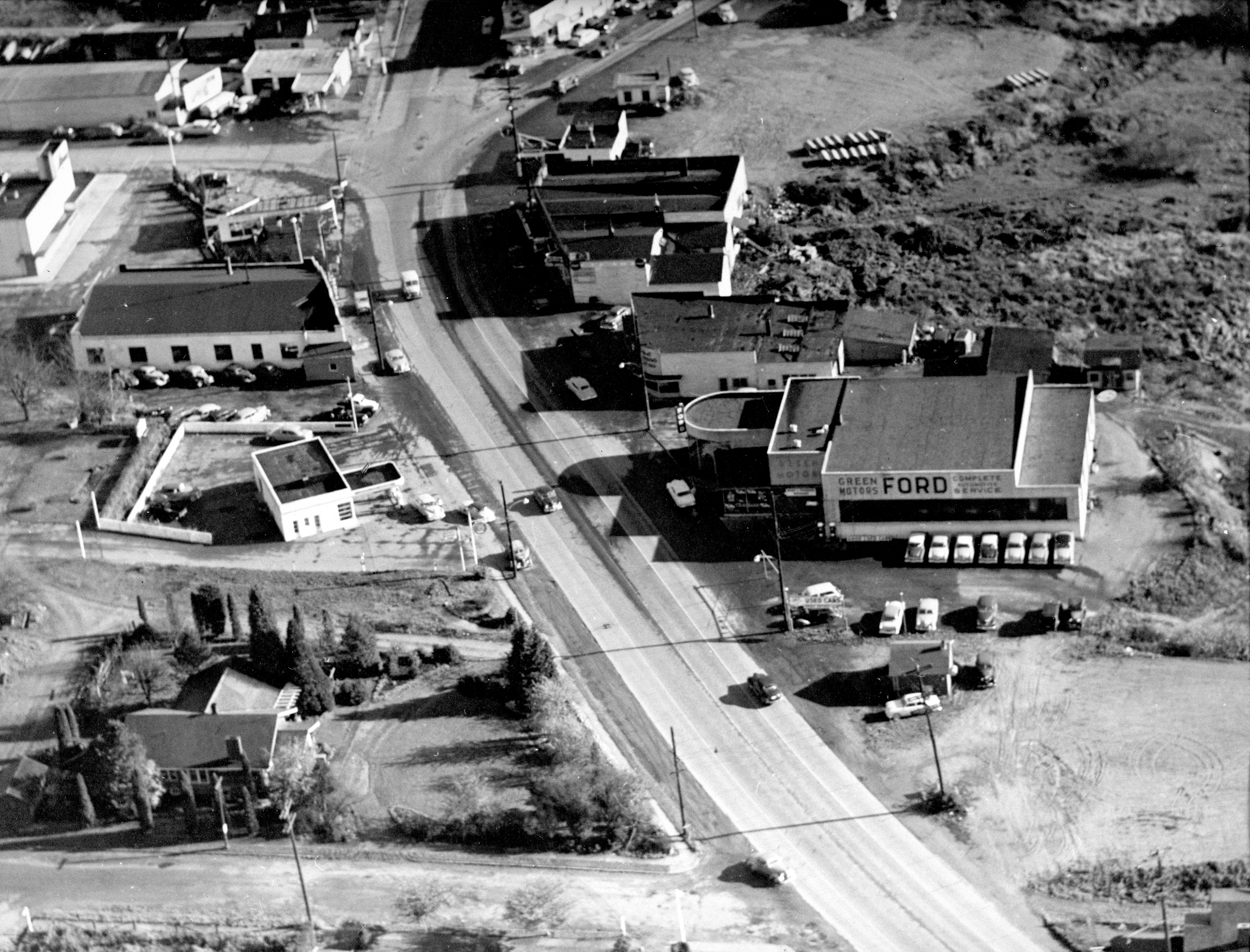 1952 view of Bothell Way, over Green Motors
and Ericksen Motors, looking east
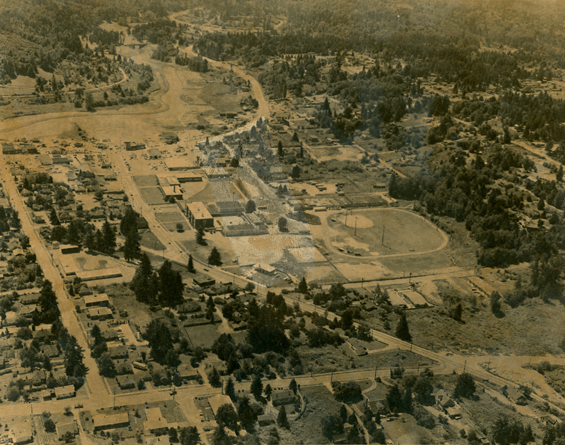
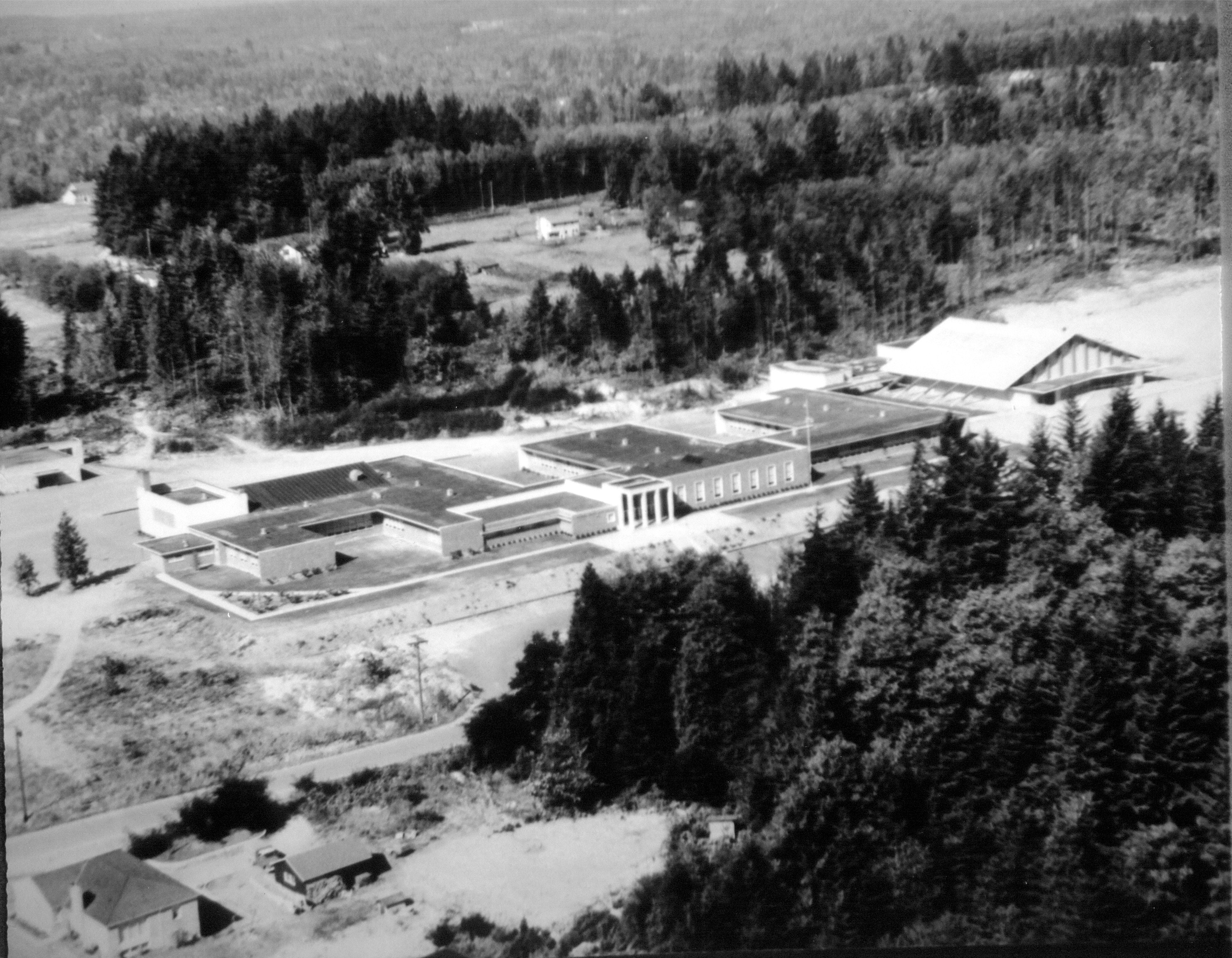 Bothell High School on West Hill, mid-1950s
 Centered on Main Street — photo printed in
1959 Bothell High School annual
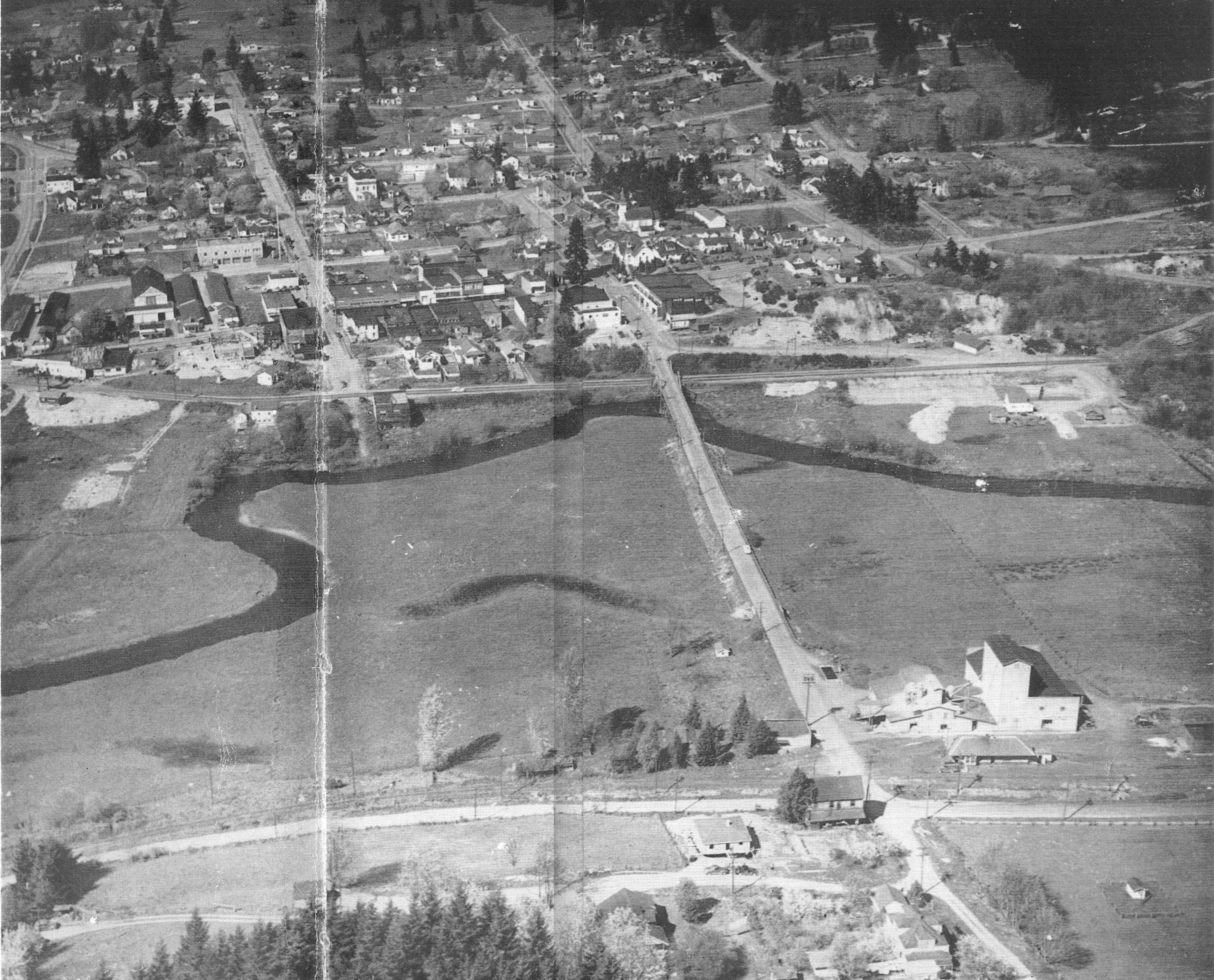
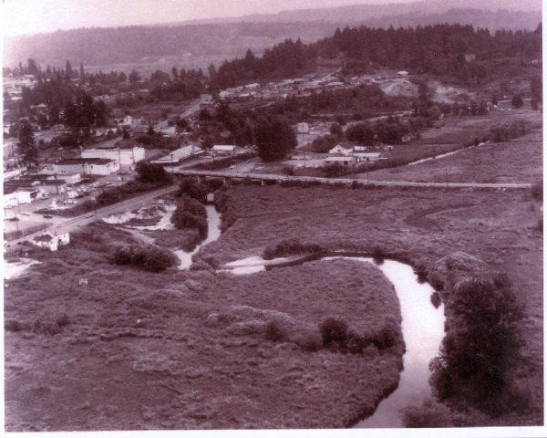 Bothell Landing area downtown, before the 1960s dredging of the Sammamish River
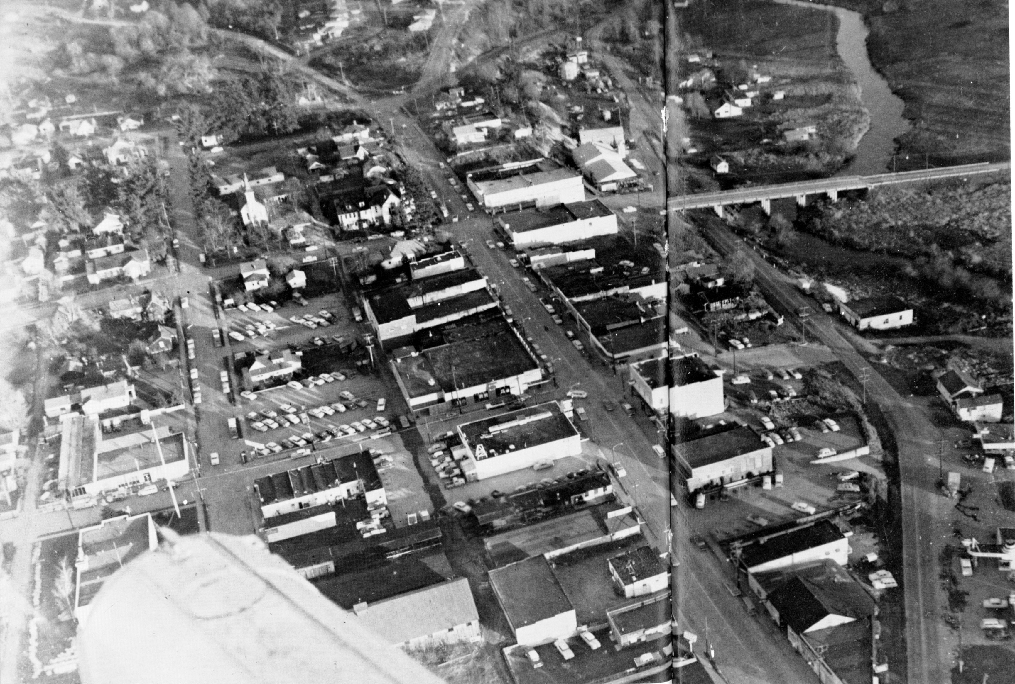
 Mid-1960s–Looking south above the old Everett Highway;
Anderson Junior High left center
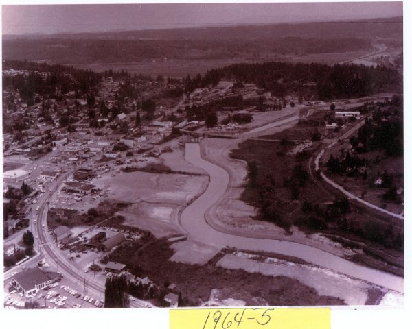
 Looking northeast toward Bothell Landing
and downtown after the dredging
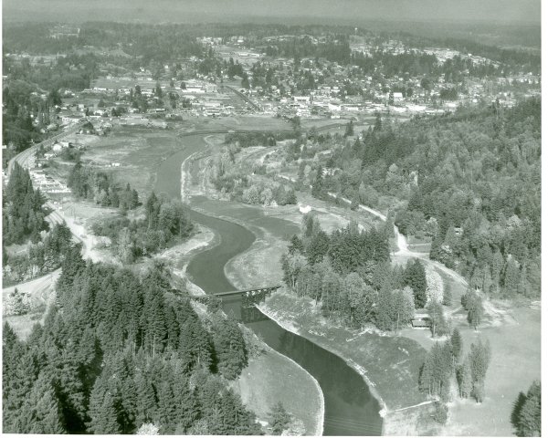
 Another view looking northeast after the dredging of the Sammamish River